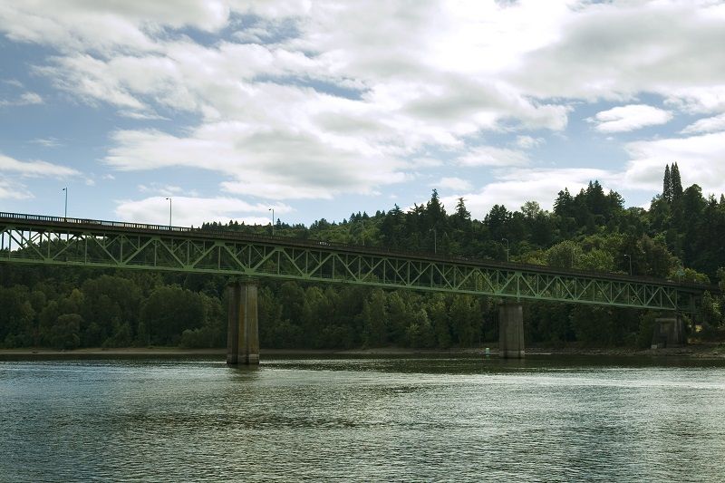
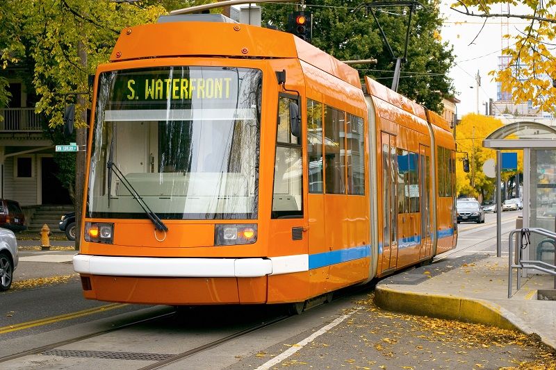
The Westside light rail line opened on September 12, 1998. Westside MAX was unlike any light rail line previously built in America: it was deliberately routed through vacant land in Washington County with the expectation that it would be a catalyst for so-called “Transit-Oriented Development” (TOD).
The total cost for the line was $963 million, of which federal taxpayers put up 73%. The Federal Transit Administration (FTA) recommended against full funding for the project, on the grounds that the population density along the planned route was so light that the line would not attract sufficient ridership to justify federal funds. In the early 1990s the running joke line at FTA was, “How many deer and cows will ride Westside MAX?”1
In desperation, TriMet offered to make a binding legal agreement (attached) to force all local jurisdictions along the corridor to use the power of zoning to ensure that neighborhoods near rail stations would be zoned at urban densities to generate future riders. The agreement also required Metro to adopt the “2040 plan,” which mandates high densities along rail lines.
In agreeing to these conditions, TriMet was stating that the Westside MAX would not be just a people-mover; it would change the nature of development in Washington County. A leading promoter of this vision said at the time, “MAX is more than a transportation investment. MAX is part of a conscious strategy to shape regional growth by coordinating transportation investments with land use policies.”2
As such, evaluation of the project would be different than with the Eastside line. TriMet planners admitted that: “The success or failure of the public’s nearly $1 billion investment in the Westside [MAX] will be determined in large part by what happens around its 20 stations. Unlike the East side MAX line, a substantial amount of land around the Westside is primed for development.”
The agency boldly promoted this vision, garnering national attention. For example, Newsweek magazine gushed in May 1995: Portland is “building transit first, literally in fields, in the hope development will follow.”
What did it mean to create transit-oriented neighborhoods from cow pastures? According to agency commitments in 1996, “TriMet is asking local governments along the rail corridor to take action to make development physically more dependent on transit by limiting parking, constraining automobile access, widening sidewalks, improving pedestrian access, allowing a mix of uses, and higher density development.”3
Ten Years Later
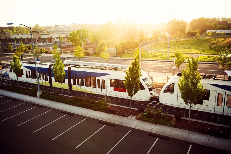
Westside MAX has now been in operation for ten years. It’s fair to ask if the vision worked in the real world where property owners, builders and developers have to actually make money on projects, and people cannot be forced to choose any particular mode of transport. Has Westside MAX indeed built new communities where people use rail as a primary means of travel? Are those communities financially sustainable, creating a business model that can be widely replicated?
Cascade Policy Institute has spent much of the past decade quietly collecting data on these questions. We have taken photos, interviewed developers, and spent hundreds of hours sitting outside TOD projects observing how people actually travel when they have rail as a convenient option. Later this year we will release a compendium of case studies examining the evolution of specific Westside projects, including Orenco Station, Orenco Gardens, Elmonica Station, Willow Creek, The Round at Beaverton, Beaverton Creek, and Stadium Station Apartments. But today we are releasing some preliminary data which suggests that Westside MAX has failed to meet the criteria laid out by its promoters in 1996.
The site of this press briefing, Beaverton Creek, is a good place to start, because it was considered by TriMet planners to be the single best TOD site on the entire MAX line, east or west. Planners predicted that the development potential of the 134-acre Beaverton Creek site included 2,000 multi-family dwelling units, a 200-room hotel, 1.1 million square feet of retail, office and campus industrial, and 6,000 parking spaces.4
Unfortunately, reality intruded. As you look around today, you can see that little of that development actually occurred. Planners neglected to factor basic market forces into their Utopian vision. NIKE bought up the 74 acres immediately north of the LRT line in 1995 to land-bank for future campus expansion. That’s a legitimate purpose and if it happens it will certainly have a positive effect on rail ridership. But it’s years away, and before it can happen Beaverton will have to amend its zoning code which now mandates that Nike build high-density housing on about a third of their property, and create public access to it. Both conditions have been opposed by Nike for over a decade and remain unresolved.
The six acres just to the west of this housing project, owned by Specht Development, remain vacant. This is not because the owners are opposed to TOD; it’s primarily the result of unrealistic zoning by Beaverton related to parking and density. According to a representative of the landowners, “The primary reason it’s never been developed is the mandated lack of parking. The Beaverton zoning ratio is 2.7 spaces per thousand square feet of office space; the market rate is 4. We think light rail is an amenity but it doesn’t take the place of parking in the suburbs. Lenders aren’t going to go for a project like that. Moreover, the high-density requirements are going to be expensive.”5
This is a solvable problem; all Beaverton has to do is allow the market to work. But the region’s top TOD regulators refuse to believe that markets actually matter. They think that good intentions and government mandates are enough. The result is that six acres of prime real estate adjacent to this LRT station remains undeveloped, and the 74 acres north of LRT will stay undeveloped unless rigid planning templates are removed.
The residential complex behind us, LaSalle, was indeed built as hoped for, and quite a few of its residents take light rail on a regular basis. But the ground-floor retail, always part of the TOD vision, was poorly thought-out. It was mandated by planners who had no financial stake in its eventual implementation, and as a result the plan ignored market realities.
The retail spaces behind us have been consistently vacant for at least the past seven years. The reasons are simple; according to the leasing agent in 2002: “It’s been tough, to say the least; it’s not one of those ‘field of dreams’ things where you just open the door and people come through. If I had to summarize the problem in one word, it would be parking. When I show prospective tenants around, they say, ‘where will my customers park?’, especially on the spaces fronting light rail. It would be nice to get Starbucks there, to become an anchor tenant of sorts, but they aren’t remotely interested.”6
According to the current leasing agent, the sites continue to be a challenge, and rents are available at a discount. They hope to attract service-type tenants such as lawyers or CPAs, people who don’t rely on foot traffic, because there isn’t any.7
The one part of the TOD vision that has been implemented here is a vast amount of free parking, to induce people to drive from surrounding suburbs to take the train. And the parking is certainly effective at doing that, not only here but at the Sunset Transit Center, Millikan Way station, Orenco Station, and all the other MAX park-and-rides. But then if TriMet has to give away a lot of free parking, what’s the point of transit-oriented development? In essence, TriMet planners have admitted that TOD really doesn’t work.
Peak-Hour Transit use at Westside TODs
A basic measure of success at TODs is peak-hour travel patterns. TODs are supposed to have sufficiently high enough non-auto use to justify the massive subsidies poured into rail. Research conducted at Westside TODs shows that while transit use does occur at higher rates than most lower-density neighborhoods, private automobile use remains the mode of choice for residents and visitors.
| Peak-Hour Counts at Westside MAX TODs All trips in/out, 6:30 – 9:00 a.m. |
||||
| Auto | Ped | MAX | Bike | |
| Beaverton Creek, LaSalle Apartments/Townhomes | 64% | 18% | 18% | 1% |
| Willow Creek, Stoneway Condos | 65% | 33% | – | 2% |
| Willow Creek, Wyndhaven Apts. | 56% | 37% | – | 6% |
| Orenco Station, North of Cornell | 82% | 17% | – | 3% |
| Orenco Station (Club 1201 Condos) | 80% | 17% | – | 3% |
| Orenco Station (Nexus Condos) | 71% | 23% | – | 6% |
| Orenco Station (Q condos) | 81% | 19% | – | 0% |
| Orenco Gardens | 80% | 4% | 13% | 3% |
| Elmonica (Steele Park) | 68% | 28% | – | 4% |
| Elmonica (Meridian Village) | 76% | 19% | – | 5% |
| Elmonica (Elmonica Condos) | 69% | 26% | – | 5% |
| Elmonica (Elmonica Court Apts) | 96% | 4% | – | 0% |
| Beaverton Round (Commercial office building) | 90% | 7% | – | 3% |
|   Peak-Hour Counts for Beaverton and Portland |
||||
| Beaverton (97006 zip code) | 84% | – | – | – |
| Portland (city wide) | 77% | 4% | – | 6% |
Westside MAX Subsidies
The total estimated capital cost of Westside MAX was $963 million. By itself that number is not very informative. A more useful way to look at the price tag is in terms of cost per average ride, which is roughly $16 ($13 for capital cost, $3 for operating). Since the retail price for an all-zone ticket is $2.30, clearly the MAX project would not be financially sustainable were it not for massive subsidies.
There are also numerous hidden subsidies. For instance, many Westside employers run their own shuttles to and from MAX stations, because light rail generally does not take people door-to-door. Nike runs a continuous shuttle to Beaverton Creek LRT that accounts for 44 auto trips just in the morning peak alone. This is a subsidy to Westside MAX, but Nike is in turn subsidized by all taxpayers through the Business Energy Tax Credit, which allows employers to take a 35% tax credit on the cost of transit subsidies to employers.
Many employers also give away highly discounted transit passes. At Nike, the 7,100 employees in Beaverton are eligible for transit passes costing them $35 per year, when the retail price is $946. This is a subsidy to Westside MAX of over $6 million, of which 35% is then subsidized by the state through BETC.
In addition, many subsidies have been given to TOD developers. The Beaverton Round has received more than $12 million in subsidies, yet it has one of the worst transit mode shares of any Westside TOD. Other TODs have received direct cash grants, low-income housing tax credits, reduction in SDCs, or below-cost land deals. The developers of the Stadium Station Apartments on SW 18th in Portland were given the land for $1 by TriMet.
Conclusion
Promoters of the Westside MAX hoped to fundamentally change the development patterns of Washington County, and thereby change the travel patterns as well. While reduced auto use has been observed at many Westside TODs during peak commuting hours, reliance on private transport is not significantly different from more traditional neighborhoods. Moreover, if one walks half a mile away from a MAX station in any random direction, it’s clear that light rail has had no effect at all on development within Beaverton, Hillsboro or Washington County, other than to increase congestion and divert capital from other useful projects. Yet there appears to be very little learning going on at either TriMet or Metro, as noted in a recent report by the Metro auditor.8 Once the money is spent on transit projects or TOD subsidies, there is never a systematic review that compares expectations with reality. The public deserves better.
1 Henry Markus, former Westside MAX Station Area Planner, interview with John Charles, October 2002.
2 G.B. Arrington, Beyond the Field of Dreams: Light Rail and Growth Management in Portland, 1996
3 IBID
4 IBID
5 Todd Schaefer, Specht Development, interview with John A. Charles, Jr., April 2002.
6 Andy Sisavec, Norris, Beggs and Simpson, interview with John A. Charles, Jr., April 2002.
7 Representative of Norris and Simpson, interview with John A. Charles, Jr., September 2008.
8 Suzanne Flynn, Transit-oriented Development Program: Improve Transparency and Oversight, August 2008